 ®
Layers / Terrain
See the ground under the trees
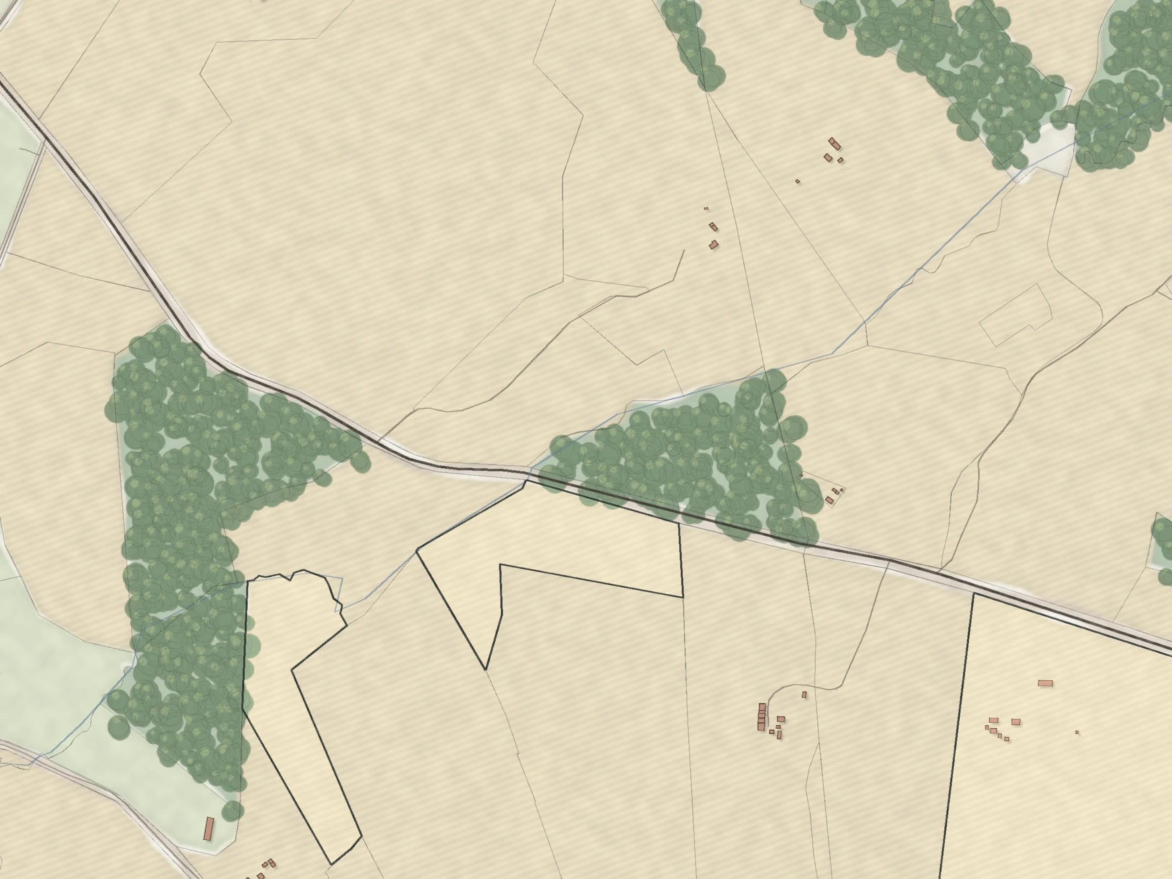
Switch any parcel from the aerial photo to laser relief. Ditches, banks and old riverbeds show up even under forest.
Free account · no card · 4 property reports a day


2024
laser relief release
2022 to 2024
aerial photos, depending on the area
Under trees
ditches and banks show through forest
Free
with an account, one layer at a time
What laser relief shows
Read the ground before you visit
- Drainage ditches, even under forest
- Old riverbeds and wet hollows
- Slopes, banks and pits
- Old roads and field edges

Sources and accuracy
| Layer | What it shows | Source | Data as of | Accuracy |
|---|---|---|---|---|
| Laser relief | Laser-scanned terrain model | Latvian Geospatial Information Agency | 2024 release | Terrain shape, not a survey |
| Aerial photo | Aerial photo | Latvian Geospatial Information Agency | 2022 to 2024 | |
| Satellite background | Satellite background at low zoom | Copernicus Sentinel-2 (EOX cloudless) | 2017 |
Check these yourself
What the registers cannot tell you.
- The exact year of the aerial photo for each place. Captions show the period.
- Heights in metres and survey-grade boundaries.
Keep reading

Agriculture
Know a field before you buy it
Soil score, drainage, declared fields, groundwater, peat and hogweed.

Forest
See the forest before you walk it
Species, age and growing stock for every compartment.
For buyers
Check a parcel before you pay
Prices, restrictions and owners around any parcel, and a team that can handle the purchase for you.
Walk the parcel from your desk
Laser relief and the aerial photo, one switch apart.
No card. 4 property reports a day included.
