 ®
Layers / Agriculture
Know a field before you buy it
Soil score, drainage, declared crops, groundwater, peat and hogweed for any farmland parcel in Latvia.
Free account · no card · 4 property reports a day

Soil quality
The cadastre score, field by field
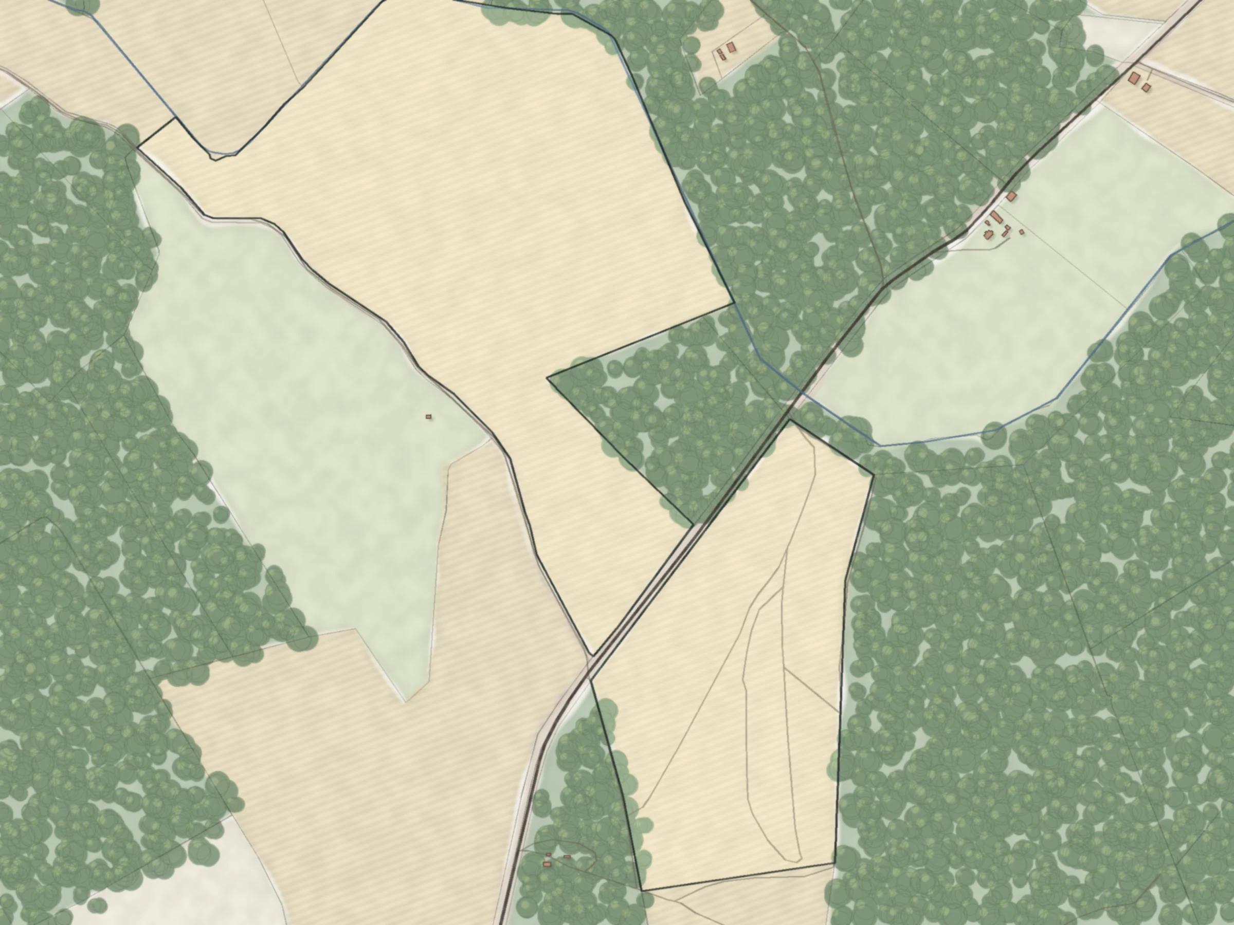
Agricultural land has a quality score in points. Compare land before you visit. A score of 0 means the parcel was not assessed.

Under one switch
Six layers for a field
Soil quality
The cadastre gives agricultural land a quality score in points. Higher is better. A score of 0 means the parcel was not assessed.
Drainage systems
Drainage ditches and pipes from the drainage cadastre kept by Real Estate of the Ministry of Agriculture.
Declared fields
Fields declared to the Rural Support Service for EU area payments this year, with the crop.
Groundwater
Modelled depth to groundwater from the Latvian State Forest Research Institute "Silava", based on laser relief. A model, not a measurement.
Peat
Peat deposits from the Latvian Environment, Geology and Meteorology Centre.
Hogweed
Areas invaded by giant hogweed, surveyed by the State Plant Protection Service from 2007 to 2016.
Drainage systems
Ditches and pipes under the field
From the drainage cadastre kept by Real Estate of the Ministry of Agriculture. Location only: no owner or condition.

Sources and accuracy
| Layer | What it shows | Source | Data as of | Accuracy |
|---|---|---|---|---|
| Soil quality | Soil quality score per parcel | State Land Service, national cadastre | 12 October 2026 | 0 means not assessed |
| Drainage | Drainage ditches and pipes | Real Estate of the Ministry of Agriculture, drainage cadastre | Open data | Location only, no owner or condition |
| Declared fields | Fields declared for EU area payments, with crop | Rural Support Service | 2026 declarations | Field outlines as declared by farmers |
| Groundwater | Modelled depth to groundwater | Latvian State Forest Research Institute "Silava" | Model | A model from laser relief |
| Peat | Peat deposits | Latvian Environment, Geology and Meteorology Centre | 1 September 2026 | Two boundaries merged |
| Hogweed | Areas invaded by giant hogweed | State Plant Protection Service | Surveys 2007 to 2016 | Old survey; not the current list |
One switch turns on the whole group.
Check these yourself
What the registers cannot tell you.
- Who maintains a drainage system, its condition, pumping stations and dams.
- Whether land is on the list of uncultivated farmland, which raises property tax.
- Current hogweed records. The layer shows surveys from 2007 to 2016.
- The official peat map. Our peat layer merges two different boundaries.
- Measured groundwater levels. The groundwater layer is a model.

Check the soil before the price
Score, drainage and the price neighbours paid, on one map.
No card. 4 property reports a day included.
