 ®
Layers / Risks and restrictions
What can stop your plans on this land
A protection zone can stop you building. A flood area can stop the bank. Know the registered restrictions.
Land Register entries (mortgages, prohibitions) are not included — check them before you sign.
Free account · no card · 4 property reports a day

Binding or informational
Law, or a warning
Some layers are law: zones registered in the cadastre and local plans. Others are a warning: flood hazard maps and zones drawn from OpenStreetMap. The table says which is which.
- Binding · cadastre encumbrances, local plan zoning and flood areas
- Informational · flood hazard maps, corridors from OpenStreetMap

How to read it
Four parcels, four kinds of limit
Real parcels from the registers. Each opens on the map with this layer on.
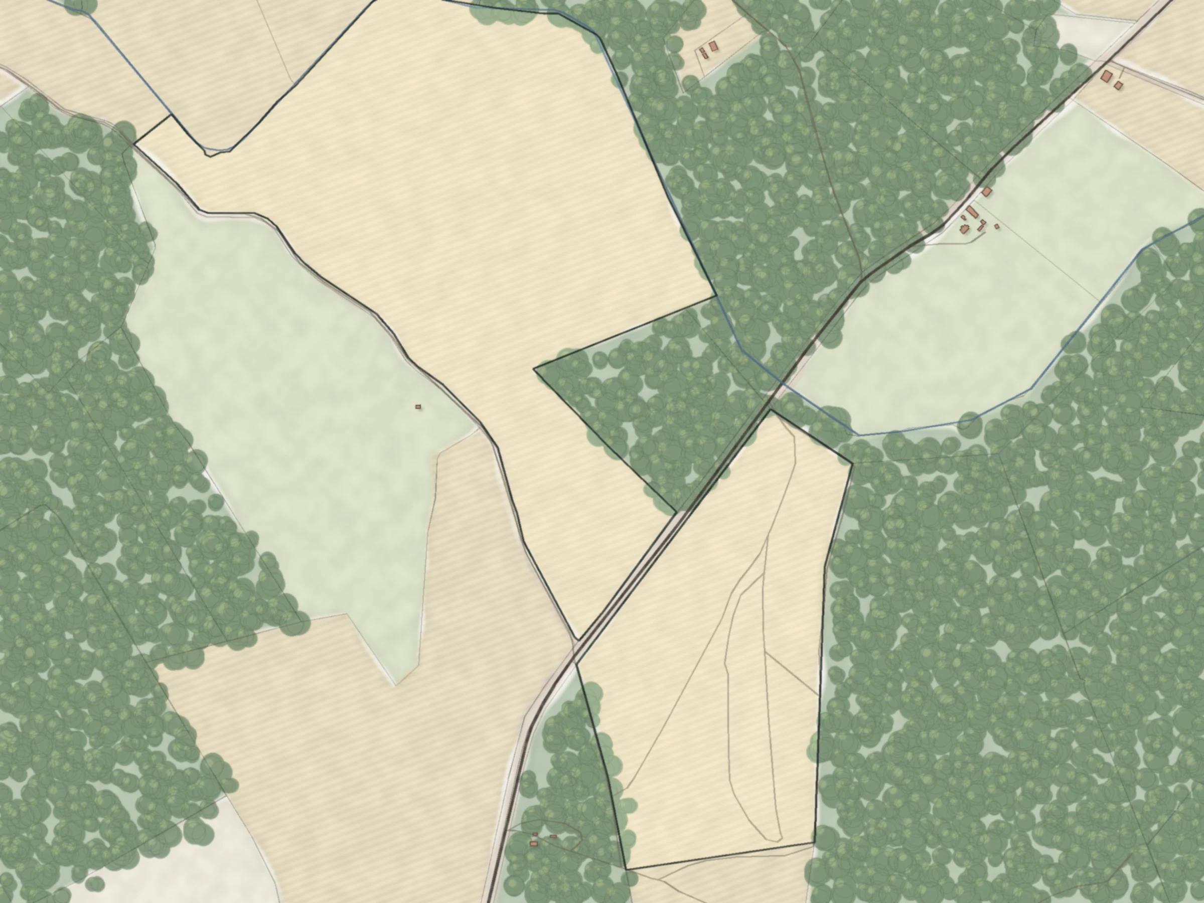
The cadastre registers protection zones of several power lines on this 4.79 ha parcel. Building near them is limited.
Open on the map →80880070103A registered 10% flood area and the Lielupe river protection zone. Check the local plan before you plan any building.
Open on the map →21000110433RēzekneA lake protection zone, a defence site zone and two heritage zones on one town parcel.
Open on the map →74480040024Jumprava parish, Ogre municipalityA state road zone, the Daugava riverbank zone and a small flood area on one 3-hectare parcel.
Open on the map →Registered encumbrances
The list the notary will read
The cadastre lists encumbrances for most parcels: protection zones, easements and heritage. Tap a parcel to see its list. Registered encumbrances as of 12 October 2026.

Sources and accuracy
| Layer | What it shows | Source | Data as of | Binding | Accuracy |
|---|---|---|---|---|---|
| Zoning | Local plan zoning: what may be built where | Spatial Development Planning System | 5 October 2026 | Yes | Covers about 62% of Latvia's area; some municipalities have no digital plan |
| Burdened areas | Burdened areas set in local plans | Spatial Development Planning System | 5 October 2026 | Yes | Plan scale; partial coverage |
| Special conditions | Areas with special conditions in local plans | Spatial Development Planning System | 5 October 2026 | Yes | Types are not told apart on the map |
| Scenic landscapes | Scenic landscape areas | Spatial Development Planning System | 5 October 2026 | Yes | Partial coverage |
| Villages and towns | Village and town boundaries, which change zoning rules | State Address Register | 5 October 2026 | Yes | Address boundary; the local plan boundary can differ |
| Power lines | Power lines and substations | OpenStreetMap | 2 July 2026 | Approximate | Many lines up to 20 kV are missing |
| Gas pipelines | Gas pipelines and their safety zone | OpenStreetMap; zone width from the national cadastre | 2 July 2026 | Approximate | Operational zone about 15 m, safety zone up to 150 m |
| Water | Rivers, lakes and their protection zones | Latvian Environment, Geology and Meteorology Centre; OpenStreetMap | 2 July 2026 | Approximate | Measured from the centre line, rural width |
| Roads and railways | Roads, railways and their protection zones | OpenStreetMap | 2 July 2026 | Approximate | Rural width; in towns the local plan decides |
| Floods | Flood areas: binding local plan areas and flood hazard maps (10% and 1%) | Spatial Development Planning System; Latvian Environment, Geology and Meteorology Centre | 5 October 2026 / 15 August 2026 | Local plan: yes. Hazard maps: no | Local plan flood areas exist in 38 of 42 municipalities |
| Contaminated sites | Contaminated and possibly contaminated sites | Latvian Environment, Geology and Meteorology Centre | October 2024 edition | Yes | Static register edition |
| Construction cases | Construction cases: new buildings, active and finished | Construction Information System | Open data | No | No planned projects or public consultations |
Two switches turn on all restrictions and all risks.
Check these yourself
What the registers cannot tell you.
- Whether a deal needs defence ministry consent near the state border or defence sites.
- A drawn protection band along power lines. The width depends on voltage, forest and distance from the outer wire.
- Storm surge, ice jam and 0.5% flood areas, and local plan flood areas in some municipalities.
- Exact water protection zones. Ours are measured from the centre line, not the bank, and use the rural width inside villages.
- Zoning details on the map. Zone names, special condition types and plan dates are in the property report.
- Planned buildings and public consultations.
- Gas compressor stations and wells as zones, and some pipeline sections.


Know the limits before you make an offer
The registered restrictions, listed in one PDF.
No card. 4 property reports a day included. Land Register entries (mortgages, prohibitions) are not included — check them before you sign.
