 ®
Layers / Parcels and owners
Who owns the land around you
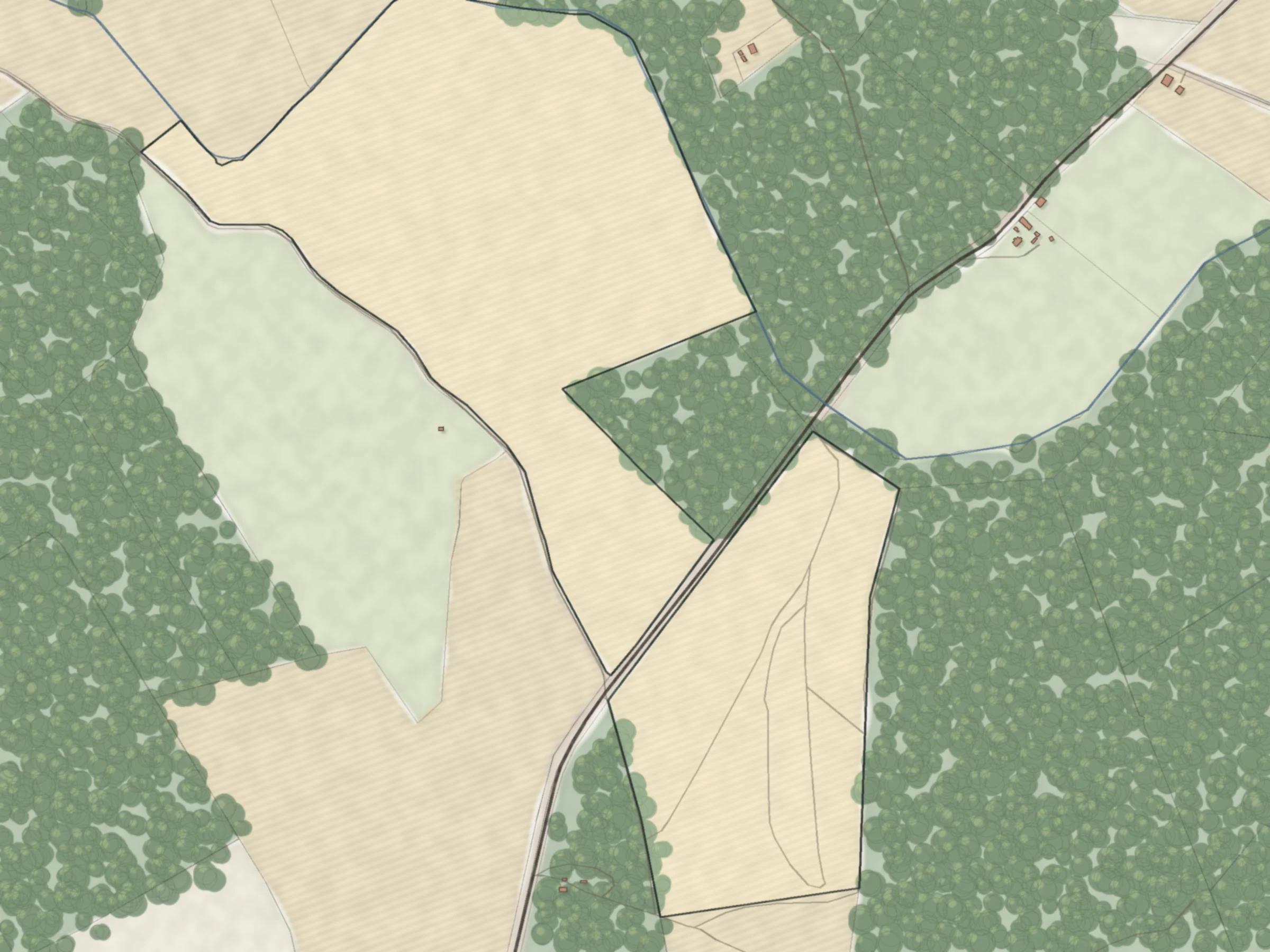
Every parcel in Latvia on the aerial photo, with its buildings, easements and the type of owner.
Free account · no card · 4 property reports a day

Owner type
See who holds the land
Colour every parcel by owner type, then reveal the name of a company, municipality or state body.
- Private
- Company
- Municipality
- State
- Mixed

How to read it
Try these parcels
Real parcels from the registers. Each opens on the map with this layer on.
16.27 ha. The cadastre lists power line protection zones and a protected tree on this parcel.
Open on the map →21000110101RēzekneA small town parcel that the cadastre registers as a local architectural monument.
Open on the map →74480040024Jumprava parish, Ogre municipality3.00 ha with 6 registered encumbrances, from a state road zone to the Daugava riverbank zone.
Open on the map →Boundaries on the aerial photo
Every line, as registered
Parcel boundaries from the national cadastre on the national aerial photo. Registered right-of-way easements appear as you zoom in.

Sources and accuracy
| Layer | What it shows | Source | Data as of | Accuracy |
|---|---|---|---|---|
| Cadastre parcels | Parcel boundaries and cadastre numbers | State Land Service, national cadastre | 12 October 2026 | As registered; not a survey |
| Buildings | Building outlines from the cadastre | State Land Service, national cadastre | 13 October 2026 | New buildings appear after the next full update |
| Aerial photo | Aerial photo base map | Latvian Geospatial Information Agency | 2022 to 2024, depending on the area | |
| Owner type | Owner type of each property | State Land Service, national cadastre | 26 September 2026 | Owner type only; names on request for legal entities |
| Easements | Registered right-of-way easements | State Land Service, national cadastre | 9 August 2026 | Right-of-way easements only |
Check these yourself
What the registers cannot tell you.
- Names of private owners. Latvian law does not allow us to publish them.
- Whether the owner is only a legal possessor. Where ownership is not yet registered in the Land Register, the map colours the possessor as the owner.
- Buildings on someone else's land, and buildings registered before they were built, are not marked separately.
- Easements for buildings and water, and easements registered after 9 August 2026.


Find out who owns the land next door
A free account includes 4 owner reveals a day.
No card. Private persons are never shown.
