 ®
How it works
Free account, a short questionnaire, then the map
Three steps, about two minutes. No card and no password.
Free account · every layer, one at a time · 4 property reports a day
Three steps to the map
Create a free account
Continue with Google or get a code by email. No password, no card.
Answer a short questionnaire
Are you buying or selling? Land, forest, a house or a flat? Which municipalities? Then confirm your phone with an SMS code.
See the map
Deal prices, parcels, forest, risks and terrain from the official registers, for any parcel in Latvia.
On the map
33 layers from the official registers
Registered deal prices, parcel boundaries and owner type, forest stands, soil and drainage, protection zones, flood areas, laser relief and aerial photos.
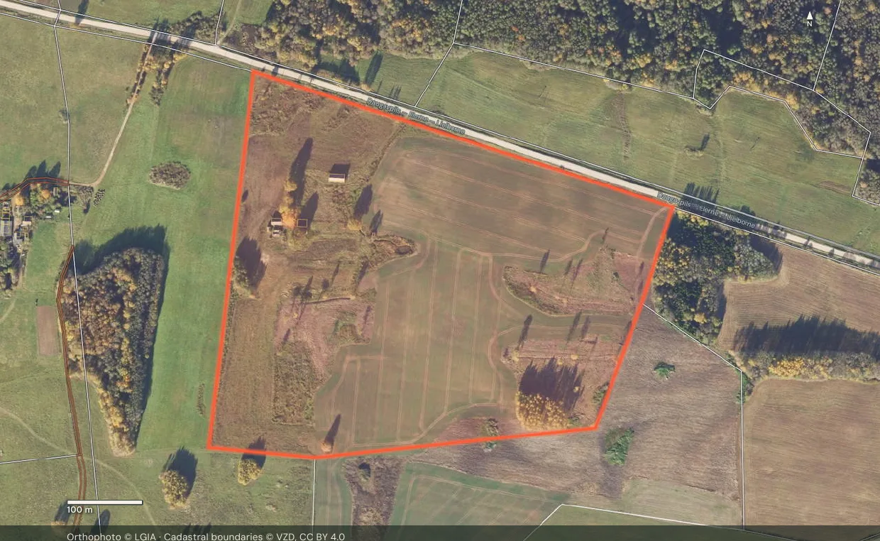
Property report
Everything the registers say, in one PDF
Area, owner type, restrictions, nearby prices and every source, for any parcel. Four reports a day are free; Kalējs makes them unlimited.

Before you start
Why an account to see the map?
The map shows land, owners and restrictions in detail. We want to know who is looking and what for, so the account is free but required.
Do you show private owners?
No. Owner reveals cover companies, municipalities and state bodies only. Private persons are never shown.
Can someone do it for me?
Yes. We search, check and handle the deal for a 3% commission from one side only. See our services.
Your map in two minutes
Free account, a short questionnaire, then every layer.
No card. 4 property reports a day included.
