


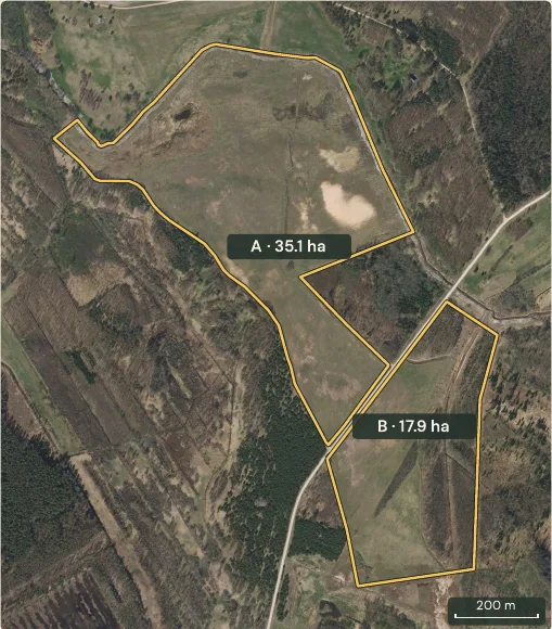
Lāčpurniņi
Bauska municipality
53 ha · Mixed
Drained, farmed land with forest and a public road.
€265,000
What neighbours really paid, what restricts the land and who owns it around. A free account opens the map of the official registers, and a local team that can handle the purchase for you.
Get started for freeBuy with us: 3% commission
Registered transactions across Latvia on one map. Pick a place and see what buyers actually paid. Real deals, not asking prices.
260,000+registered transactions
Get started with a free account
Transactions by segment, 2022 to 2026.
*2026 to date · Updated monthly.
More market dataSelect a parcel and see what the registers say about it, before you sign anything.
Land Register entries (mortgages, prohibitions) are not included — check them before you sign.


Who it is for
Soil quality, drainage, protection zones and the price neighbours paid
Real transaction prices, encumbrances and restrictions for any parcel
See what similar parcels sold for and reach our buyers
Forest stands, water bodies, protected areas and who owns the land around
Stand age, species and volume per compartment, felling restrictions
Registered encumbrances, easements and pre-emption rights for the deed
Comparable deals around any address and the big landholders nearby
Cadastre boundaries over the aerial photo and laser relief
Five years of market history, price per hectare, land portfolios for sale
Independent transaction evidence for collateral valuation
Who owns what in the territory, zoning overlays, the market around projects
Easements, protection zones and heritage restrictions for due diligence
Get started with a free account → All layers

Parcels
Cadastre boundaries over the latest orthophoto. Tap any parcel for its price history and risks.

Forests
Every compartment coloured by dominant species, with age and timber volume from the State Forest Service.

Risks
Road, power line, gas, water and heritage zones, flood areas and contaminated sites on one layer.

Terrain
Ditches, old riverbeds and slopes that the aerial photo hides. Laser scanning of the whole country.

Nature
Nature reserves, micro-reserves, protected trees and species sites from the Nature Conservation Agency.

Soil
The agricultural land quality score of every parcel, from the national cadastre.
Everything on the map
The full list from the layer panel of the map, grouped as it is there. A free account shows one layer at a time; Kalējs shows every layer at once.


From the official registers: the State Land Service cadastre and transaction register, the Nature Conservation Agency, the State Forest Service, the national orthophoto and laser scanning, the Rural Support Service and the drainage cadastre. We update monthly.
Yes. A free account gives you the map and real transaction prices with one layer at a time, plus 4 property reports and 4 owner reveals a day. Kalējs, €99 a month, shows every layer at once and makes reports and owner reveals unlimited.
Companies, the state and municipalities, yes. Private persons, no. Latvian law allows only the first.
The transaction register is updated monthly and the map follows. The newest deals you see are a few weeks old.
Yes. Every parcel in all 42 municipalities and more than 260,000 registered transactions.
Yes. The Android app is in Google Play, the iPhone app is on the way, and the map works in any mobile browser.
English and Latvian on the site; the map also in German.
Yes. We inspect, fly a drone, handle the deal and represent you at the notary, for a 3% commission from one side only. Ivars answers personally. Fill in the form below, call +371 27 177 070 or see our services.
Over 1,450 hectares of land and forest, offered directly by the owners.
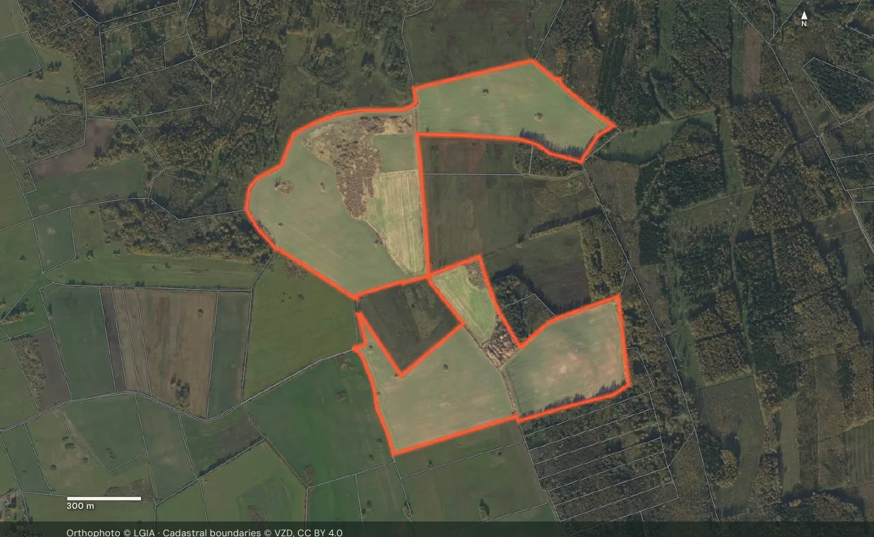
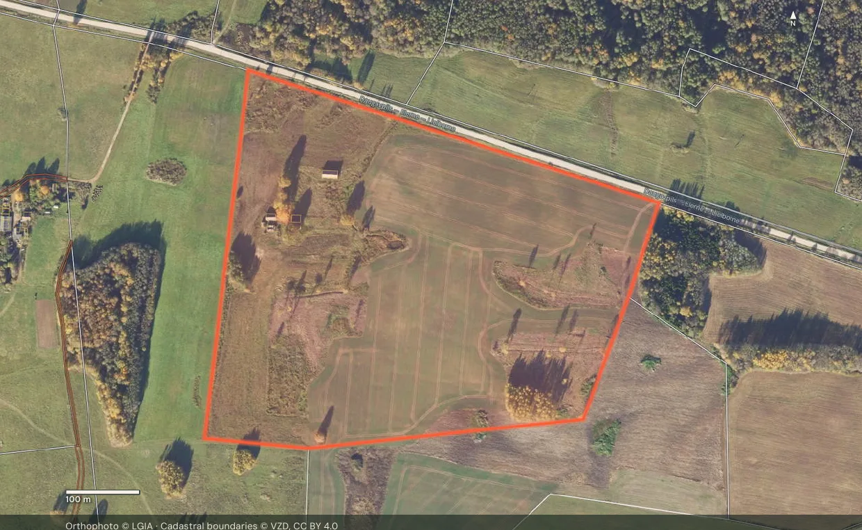

Who owns the land around your parcel: companies, the state, municipalities. Shown on the map.
Get started with a free account
Share the cadastre number and we’ll tell you what similar parcels really sold for — and if it fits what we look for, we’ll make you a written offer within a week.
Get a price check ®
The same map, prices and risks on your phone. Check a parcel while you stand on it.
 ®
KALME is a Latvian real estate company. We buy properties and help others buy them in Latvia: consultations, due diligence, drone flights and representation at the notary, for a 3% commission from one side only. We put the state's registers on one map so that buyers see what locals know.
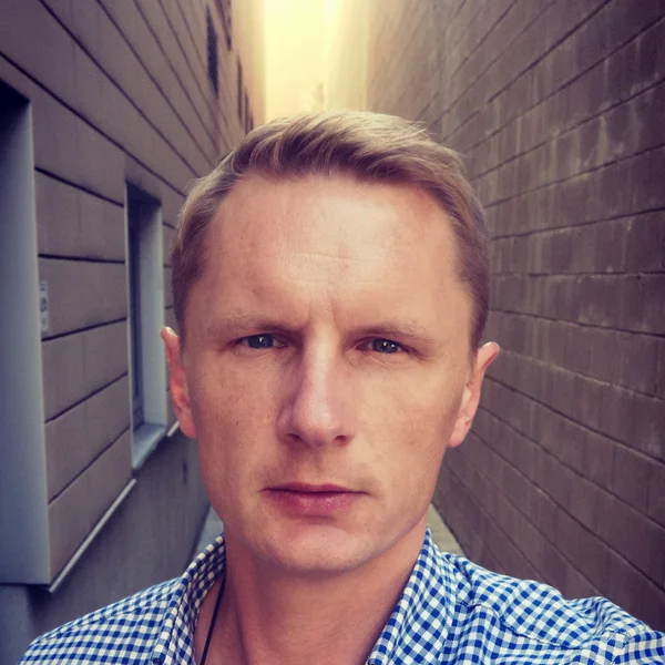


Over ten years of real estate transactions in Latvia. Father of three, a devoted son and husband. He likes birds and fishing.
Questions about a parcel, a price or a risk? Call or write. I answer personally.